
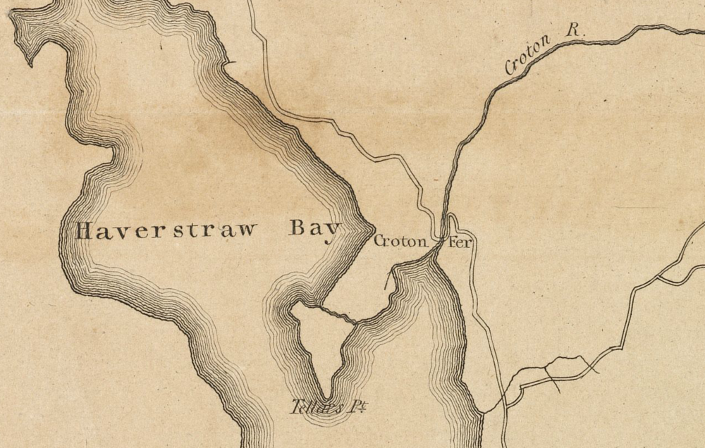
Detail from the map A plan of the country from Frogspoint to Croton River shewing the positions of the American and British armies from the 12th of October 1776 until the engagement on the White Plains on the 28th.
Since this map was made for military purposed it notes the location of Croton Ferry, at Van Cortlandt Manor.
