
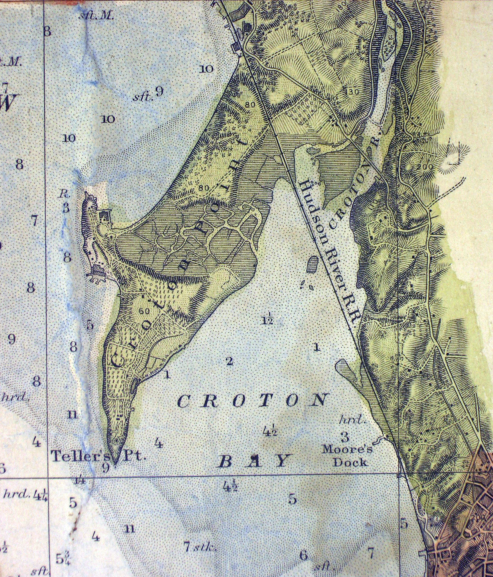
This detailed Civil War period map of Croton Point is but a small detail of a magnificent 4 sheet, hand-colored map of the Hudson River, produced by the United States Coast Survey from 1861 to 1865.
Kaaterskill Books, which offers fine, rare, and unusual books in a variety of fields, is offering this map for sale on their website and they were kind enough to provide this image of the Croton Point section.
Their detailed catalog description says these “were working river charts, backed and bordered with cloth and hanging loops, hand colored, red borders. Though the U.S. Coast Survey rarely produced charts on rivers, the Hudson was one exception given its position as a major thoroughfare. Interesting, unusual, and quite uncommon as a complete run of the river from one user.”
The map was produced from “a Trigonometrical Survey Under the Direction of A.D. Bache” the second Coast Survey Superintendent, who was great-grandson of Benjamin Franklin. Bache was a physicist, scientist, and surveyor who established the first magnetic observatory and served as the first president of the National Academy of Sciences. For more information on the history of this innovative organization, see this NOAA website.
One fascinating tidbit: James McNeill Whistler, who went on to paint the iconic “Whistler’s Mother,” was a Coast Survey engraver.
