
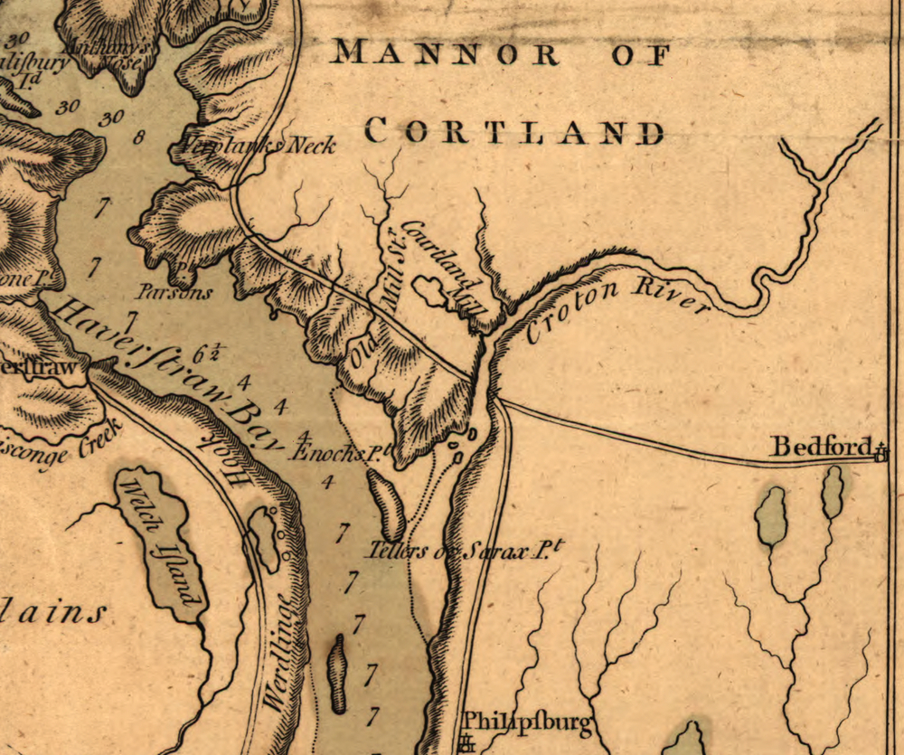
Detail of the “Mannor of Cortland” from A topographical map of Hudsons River, with the channels depth of water, rocks, shoals &c. and the country adjacent, from Sandy-Hook, New York and bay to Fort Edward, also the communication with Canada by Lake George and Lake Champlain, as high as Fort Chambly on Sorel River. The map was made by Claude Joseph Sauthier and was published in London in 1777 by Willian Faden.
Although the scale of the map is somewhat distorted, it contains two valuable labels not found on many maps of the period.
- “Courtland Mill” appears to locate the mill of Van Cortlandt Manor on the stream going from Colabaugh Pond to the Croton River, rather than on the river itself.
- “Old Mill” stream appears to have been the name of what we now know as Furnace Brook.
Source: Library of Congress
