
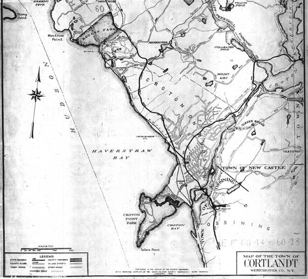


These details are from a map of the Town of Cortlandt which accompanied the 1940 census. According to a note on the map it was prepared in January, 1935 "in the office of the County Engineer, with workers supplied by the Westchester County Emergency Work Bureau."
The map can be viewed and downloaded from the National Archives 1940 Census website.1
- The map from the National Archives website has been converted from a negative to a positive image. ↩
